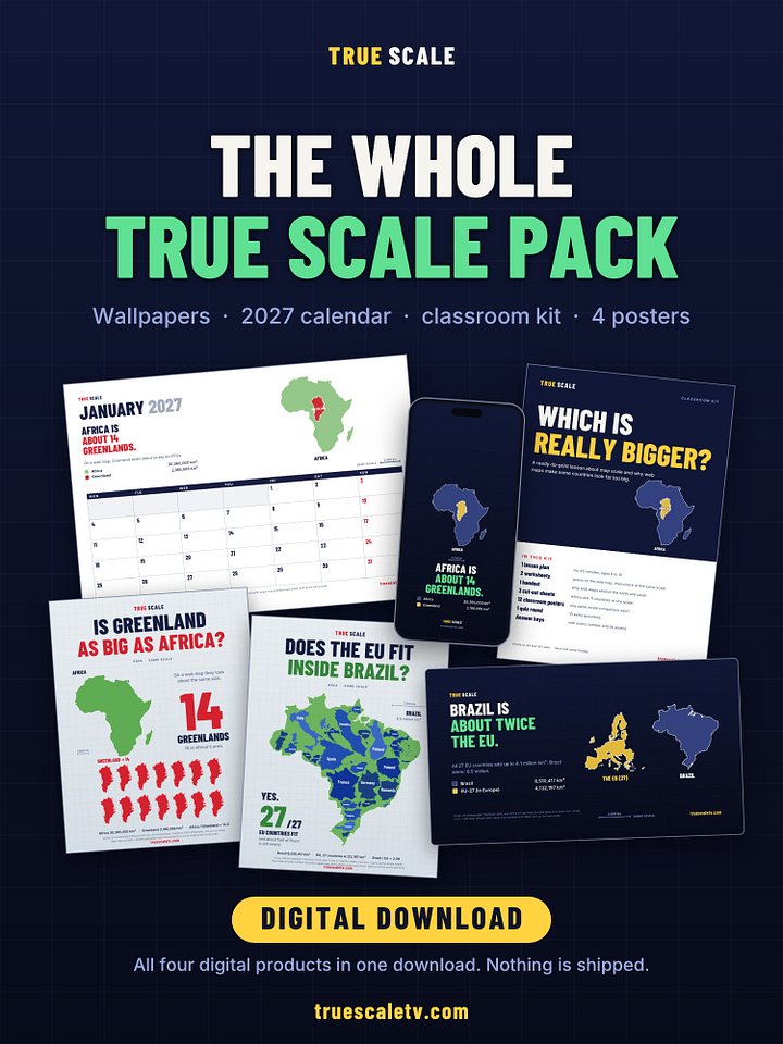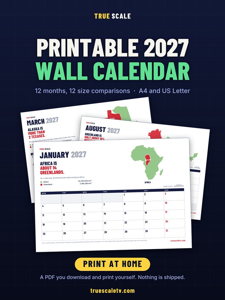
Which Is Really Bigger? Classroom Kit on Map Projections (Printable PDF)
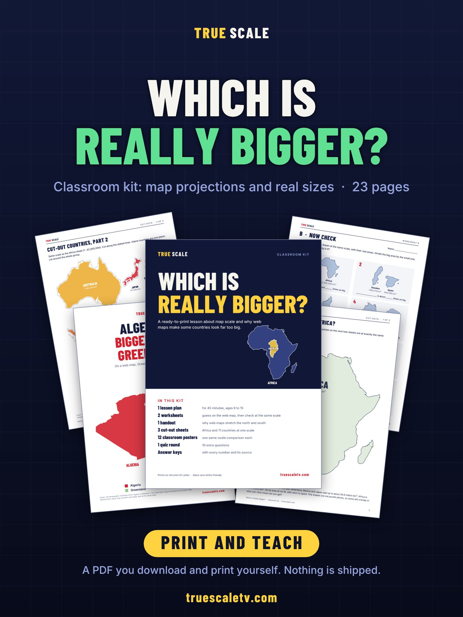
A ready lesson on why the world map lies about size, for about ages 9 to 15. Print it and teach it: no preparation needed.
Students first guess from the web map, then check against the same countries drawn at the same scale. Then they cut out countries and try to fit them into Africa.
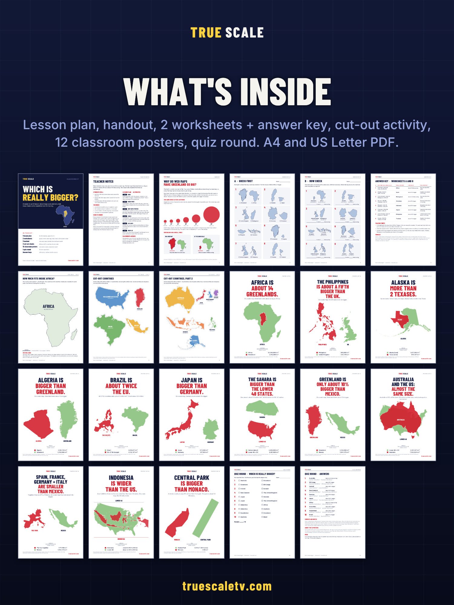
23 pages:
- Teacher notes with a 45-minute lesson plan
- Handout: why the map stretches toward the poles
- 2 worksheets (what the map shows, and the real sizes) with an answer key and talking points
- Cut-out activity: Africa at 1:42,000,000 and 11 cut-out pieces at the same scale
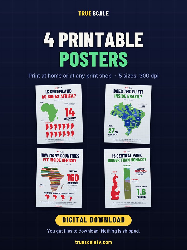
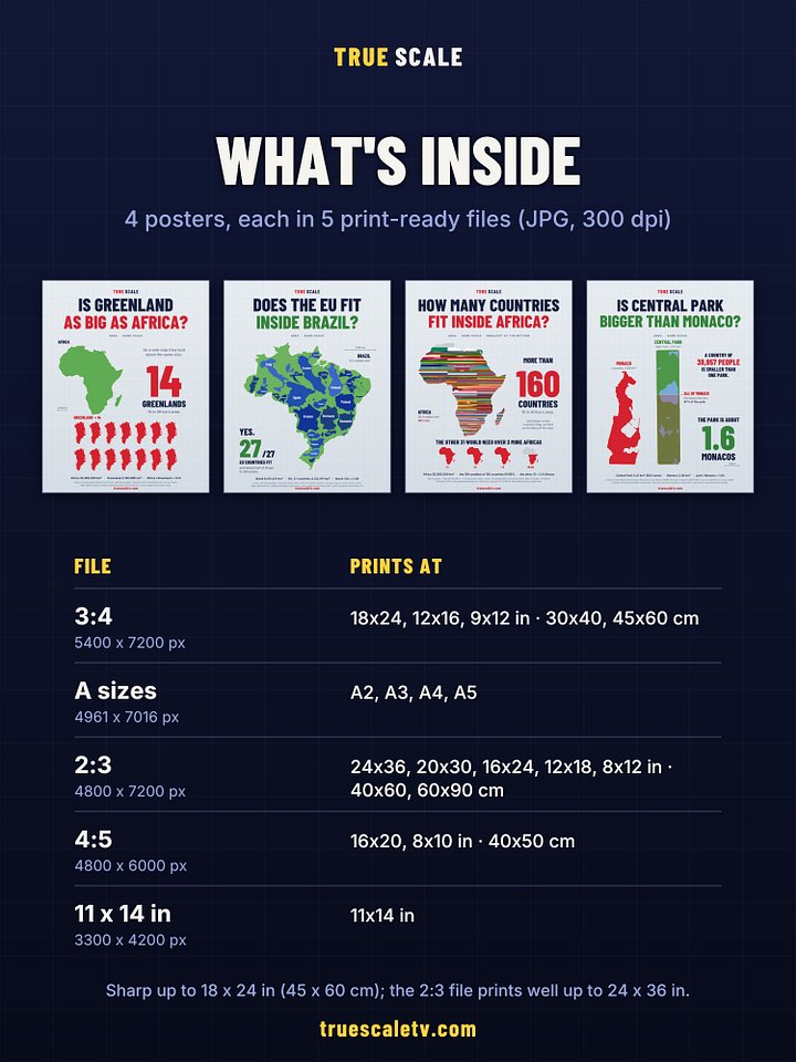
- 12 classroom posters
- A 10-question quiz round with answers
- Sources for every number (UN Demographic Yearbook, Encyclopaedia Britannica)
Comes as A4 and US Letter. The worksheets work in black and white.
Classroom licence: one teacher may print and copy it for all of their own classes.
This is a digital download (a ZIP file with 2 PDFs). Nothing is shipped. You get the download link right after checkout and by email.